
Longview Street Records in Sequence
Address research begins with a normalized location rather than a name. Keep the number, directional prefix or suffix, street type, unit, subdivision, ZIP, and any former street name together. The Gregg Appraisal District search is the first practical stop because its Street Number and Street Name fields can locate an appraisal account. If an exact entry fails, GCAD recommends a simple street name or partial name, then narrowing.
- Search GCAD with street number and street name. If needed, narrow with subdivision, neighborhood, property type, tax year, or geographic ID.
- Use the Longview parcel layer for parcel geometry, city or ETJ context, situs components, and nearby parcels.
- Take the parcel ID or legal description to the County Clerk. Preserve the recorded instrument number, book and page, and any prior instrument cited.
- Use voter data only through the Secretary of State and Gregg County Elections procedures. A map is not a list of people.
- Compare a directory year, criss-cross entry, permit, plat, and deed as separate time points for historical work.
GCAD supplies an appraisal lead, GIS supplies place context, and the Clerk can confirm a recorded conveyance or related instrument. Keep a source and access date for each result. That record trail is more reliable than treating any one field as a complete answer.
Longview Street Directory GCAD Fields
GCAD provides more than one address field. Its controls let a searcher move from a street to an account identifier, owner-name lead, subdivision, or tax-year context without assuming the first match is conclusive. GCAD describes its data as appraisal information and says legal descriptions and acreage should be verified before use in legal documents.
| GCAD field | Type | Required | Use |
|---|---|---|---|
| Street Number / Street Name | Text | No | Use both, or street name alone if an exact address fails. |
| Owner Name | Text | No | First, last, or partial name is a lead. |
| Property ID / Geographic ID / Owner ID | Text | No | Strong pivot after an account is known. |
| Property Type / Tax Year | Select | No | Narrows property class or year. |
| Subdivision / Condo / Neighborhood / MobileHomePark | List | No | Type-ahead helpers refine results. |
| Advanced Search / ARB Search | Control | No | Further filter options. |
GCAD reports that a software conversion may affect displayed acreage and certified totals. Contact the district with the parcel ID when specifications matter. No current year-coverage list was visible during research, so an online result does not prove full historical coverage.
GCAD's published role is appraisal of real and business personal property in Gregg County under the Texas Property Tax Code and USPAP. Its Longview office is at 4367 W Loop 281, with 903-238-8823 and 903-238-8829 listed for contact. Preserve the property or geographic ID, situs and mailing fields, legal-description lead, tax year, and any deed reference shown. Do not infer occupancy or identity from a homestead-exemption field, which has its own context and statutory limits.
Longview Street Parcels Need Dates
City GIS is geography, not a people directory. The parcel layer combines City of Longview parcels with GCAD parcels outside the ETJ and includes some City of Kilgore and Gregg CAD coverage. It exposes address, legal-description, deed-like, appraisal, and geometry fields. Check the county and city fields on each result.
The parcel-layer metadata records its field set and source notes.
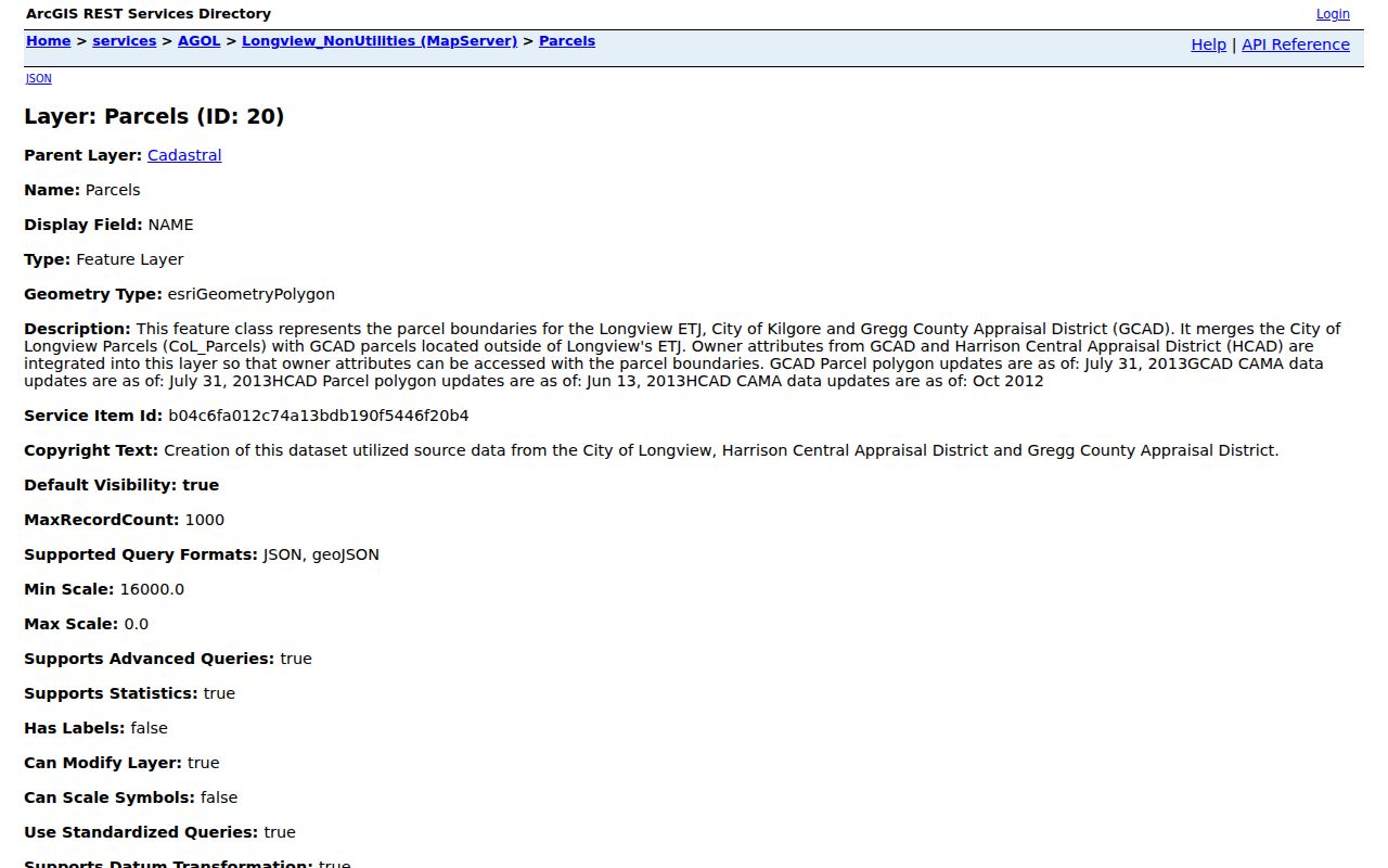
Its disclosures identify GCAD polygon and CAMA source dates of July 31, 2013 and HCAD sources from 2012 and 2013. The map therefore supplies context, not current ownership proof.
The ArcGIS query interface supports Where and Text searches, Object IDs, geometry and spatial relationships, distance and units, output-field selection, return geometry, offsets, ordering, grouping, statistics, and result format. It also reports a maximum record count of 1,000 for the WebMap collection. Filter or tile a broad query rather than assuming the first response is complete. For one street, record the feature source date, parcel ID, and geometry context before moving to GCAD and the Clerk.
Longview Records Tied to an Address
Address-keyed sources answer different questions. A parcel account and a recorded instrument are not interchangeable, and a permit or code file is about a project or action rather than a household roster. Linking each record type to its custodian prevents a street directory search from assigning more meaning to a result than its fields support.
| Record Set | Keeper | What It Shows | Access |
|---|---|---|---|
| Appraisal account | Gregg Appraisal District | Property and geographic IDs, situs and mailing fields, values, tax year | GCAD search or district contact |
| GIS parcel map | City of Longview GIS | Geometry, city or ETJ context, legal-description and deed-like fields | Public ArcGIS service |
| Recorded instruments | Gregg County Clerk | Grantor, grantee, type, date, book/page, legal-description lead | Aumentum route, counter, phone, State Library guide |
| Permit or inspection | Longview Development Services | Address, permit number, project type, issue and inspection dates | Permit portal or department |
| Historical directory lead | Robbins Genealogy and Local History Room | Directory year, street spelling, entry type, historical address | Library assistance and microfilm |
The parcel number links the appraisal record to the deed chain. A street name can then be compared with historical directories, city addressing materials, and place-based city files. Do not infer a current household from a historical entry, a map label, or a permit file.
- Parcel
- A mapped property unit used to connect appraisal, geographic, and legal-description information.
- Situs address
- The physical property location, which can differ from a mailing address.
- Plat
- A recorded map of lots, blocks, or subdivisions. It is not proof of a current owner.
- Criss-cross directory
- An address-arranged directory that supplies a dated historical lead for an occupant or business.
Confirm Longview Street Deeds at the Clerk
The Gregg County Clerk is the official-records custodian. Its route leads to the Aumentum records search. Search grantor and grantee separately, then test an instrument and date range, book and page, or instrument number. Preserve the recording date, legal description, indexed names, prior instrument, and image status. A deed image distinguishes a conveyance from a deed of trust, release, assignment, correction, plat, or easement.
The Aumentum public-records search is the online entry point recorded in the image manifest.
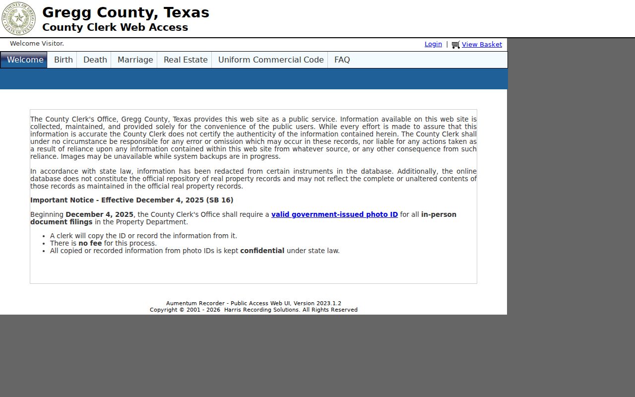
The research crawl timed out before a live result could be captured. That is a research gap, not evidence that an instrument is absent. The Clerk counter and phone route remain the documented fallback when the portal does not respond.
The County Clerk office page identifies its public records-search link and office information.
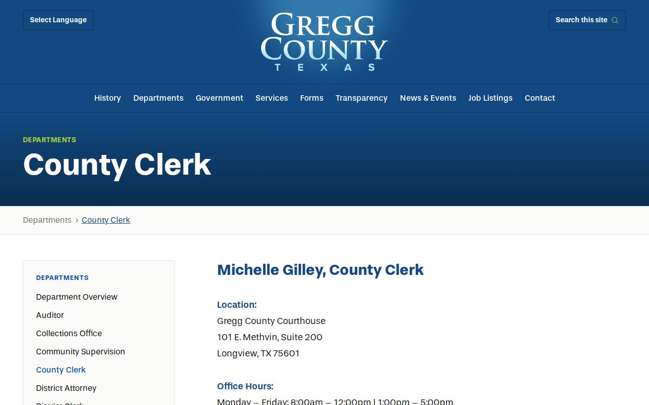
The Clerk counter is at 101 E. Methvin, Suite 200, Longview. Public counter hours are 8:00 a.m. to noon and 1:00 to 5:00 p.m., Monday through Friday, and the office lists 903-236-8430. Accessible official material did not state current online coverage, so confirm a date-range question with the Clerk.
The State Library guide and the Clerk counter are documented alternatives to a portal result. The Clerk page also carries an older browser-compatibility notice for viewing images. Treat that as a practical access warning, not a record rule. A counter request can preserve the volume, page, instrument, record type, and copy question when an image cannot be opened online.
Longview Street Numbers Can Change
Longview 9-1-1 Addressing reports corrections for odd and even placement, out-of-sequence numbers, insufficient development addresses, and ordinance nonconformity. A changed address does not automatically update USPS, utilities, GCAD, banks, insurers, or navigation providers. An old number may point to the same property history without matching a current map label.
Use the City 9-1-1 Addressing information beside the old and new address, source, and date. Compare a deed, plat, permit, old directory, and newspaper mention as dated records rather than forcing them into a single current field.
Longview Street Chains Before Online Search
For a long address history, start from the latest recorded instrument, note its prior instrument, and repeat backwards. Search both grantor and grantee when a record may involve an estate, trust, corporation, correction, or a name change. Copy the instrument number and book/page exactly as displayed.
The Texas State Library Gregg County guide identifies direct and reverse deed indexes and deed books beginning in 1873, including Deed Volumes A through R through 1901. When a chain reaches a volume outside a modern portal, use the guide, Clerk counter, or archival request.
Longview Street Directory History Clues
Historical directories, microfilm newspapers, cemetery material, and census sources are available through the Mary Lee Robbins Genealogy and Local History Room. Library assistance can identify the directory year, entry form, or microfilm reel that fits an old Longview street question. Keep the publication year, page, entry type, and spelling with every lead.
The collection detail belongs with the Longview city directories. Library databases have their own conditions: some require a card and PIN, while Ancestry Library Edition is limited to library computers or Wi-Fi.
When a modern record stops short, a librarian or genealogy volunteer can help match a name variant to the right directory or newspaper source. NewsBank's Longview News-Journal collection is listed from 1998 to today, while older newspaper runs are separate and incomplete. The City virtual local-history page also links digitized records, including a Longview telephone-directory object. Save the object title and page number because a general search result may not preserve the viewer context.
Longview Street Voter File Conditions
Texas voter tools do not turn a street into a casual public roster. The My Voter Portal is a registration-status and polling-place route that begins with a Texas driver license or personal-identification number. A statewide voter-data request is different. It requires a requestor and affidavit and can specify delivery media, active, suspense, or cancelled categories, selected counties, vote-date or election filters, and documented demographic or participation filters.
Texas Election Code provisions protect Social Security numbers, driver-license or personal-identification numbers, telephone numbers, and qualifying protected addresses. City GIS polling and district layers can explain geography, but the Secretary of State and county registrar remain the record authorities. Keep any voter-file research civic and within the affidavit and statutory use conditions.
Longview Street Directory Limits
No source supplies a complete, current list of everyone connected to a Longview street. GIS geometry does not prove a boundary agreement or common ownership. An appraisal account is not the same as a deed, and a recorded party is not automatically evidence of present occupancy. Protected addresses, confidential voter fields, motor-vehicle information, and redacted city records remain outside a responsible address search.
Lawful use. Longview address records support personal, lawful research and must never be used to stalk, harass, intimidate, or harm anyone. Stop when a record signals protected-address or victim-safety restrictions.
Texas Government Code Chapter 552 provides a route to request existing public records, not a requirement that an office create a new list. Ask the correct custodian for a defined address, record type, date range, or existing file, and expect exemptions or redactions where applicable.